
- Geo Week 2026, Use Cases
Esri, GeneXT Labs, and Langan Engineering presented digital twin, AI inspection, and indoor LiDAR workflows at a February 2026 infrastructure seminar in Denver......
- Geo Week, Geo Week 2026, Use Cases
Geo Week 2026 Denver panel recap: AI, LiDAR, NSRS modernization, workforce pipeline, and data silos — featuring NOAA, Woolpert, NV5, WGIC, and GIS Surveyors......
- Geo Week, Geo Week 2026, Use Cases
At Geo Week 2026 in Denver, Dr. Lilian Pintea of the Jane Goodall Institute delivered a keynote on 25 years of applying satellite imagery, GIS, LiDAR, AI, and community-led mapping.....
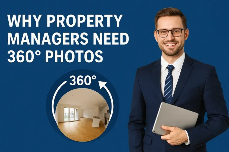
- 360 degree photography, property managers, Use Cases
The property management industry is embracing technology to streamline processes and improve efficiency. One of the most innovative tools making waves is 360° photography. These immersive images offer property managers.....