
Answers to the questions we hear most often. Need something we have not covered? Call (707) 861-3176.
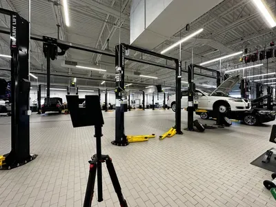
A 3D site survey is a LiDAR scan of a physical space that produces accurate measurements, 2D floor plans, and a walkable digital twin - all from a single field visit. AEC firms use them to create as-built documentation, verify existing conditions, and feed Revit BIM models.
The Matterport Pro3 captures measurements accurate to within plus or minus 1% on distances up to 100 feet in most indoor environments. For AEC-grade documentation, this is sufficient for schematic design, as-built verification, and most renovation planning.
Standard deliverables include a Matterport 3D walkthrough, a MatterPak file with OBJ and XYZ point cloud, 2D schematic floor plans, and a shareable link. Add-on deliverables include Revit BIM models and scan-to-CAD drawings.
Most site surveys under 20,000 sq ft are delivered within 2 business days of the shoot. BIM conversion adds 5-7 business days depending on LOD.
Yes. AEC is a core market for us. We work regularly with general contractors, architects, interior designers, and facility managers across Northern California.